Backcountry obs.:
Snowfall from last week’s storm has melted in all but the highest north facing areas around Tahoe. Trail conditions are superb with minimal dust, tacky, springy dirt, and water running again in the most established stream beds. Cruising the trails, it’s impossible to ignore the pungent smells of fall: decaying leaves and wet ground. Fall colors are also more stunning than they’ve been in years with aspens, cottonwoods, and even maples, showing their most vibrant yellows, golds, and oranges. Right now a trip into the backcountry is a total sensory experience.
Weather and forecast thoughts:
What a week ago looked like a solid signal for significant precip., has now fizzled into a dreary weekend of rain showers, cool temps, and blustery conditions. Models throughout the week have trended drier and warmer, pushing the bulk of the energy to our north into the Pacific NW.
Here are some visuals from the models:
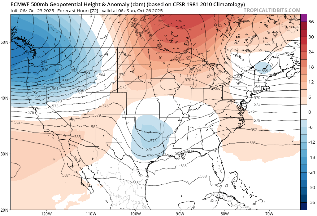
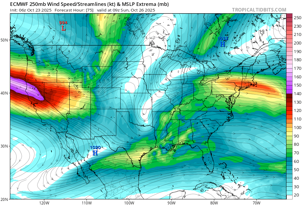
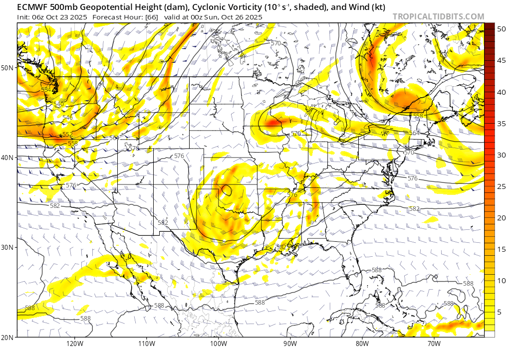
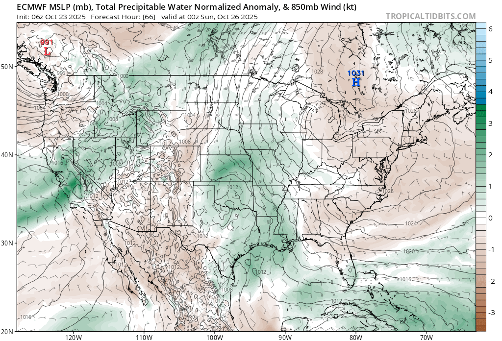
For the coming weekend, expect rain on both days with the majority falling Sat. and Sat. night. Strong SW breezes will accompany the rain on Saturday, then back off on Sun. as precip. tapers to showers under cloudy skies. Highs both days will be raw: mid 40s at lake level. Some snow can be expected on the highest passes and peaks above 8500′ with just a few inches of accumulation expected. In total, that Tahoe Basin has a 50% chance of receiving up to .50″ of liquid with the highest chances and highest amounts favored the further north you travel.
Behind this system high pressure returns with sunny skies and above average fall temps going into early November. Winter must wait, but in the meantime, the coming rains ensure that a stellar autumn continues.
